Carson, Oregon Facts
| Neighborhoods | Willamette |
| Local Time | |
| Timezone | Pacific Daylight Time |
| Lat & Lng | 44.93571, -117.17545 |
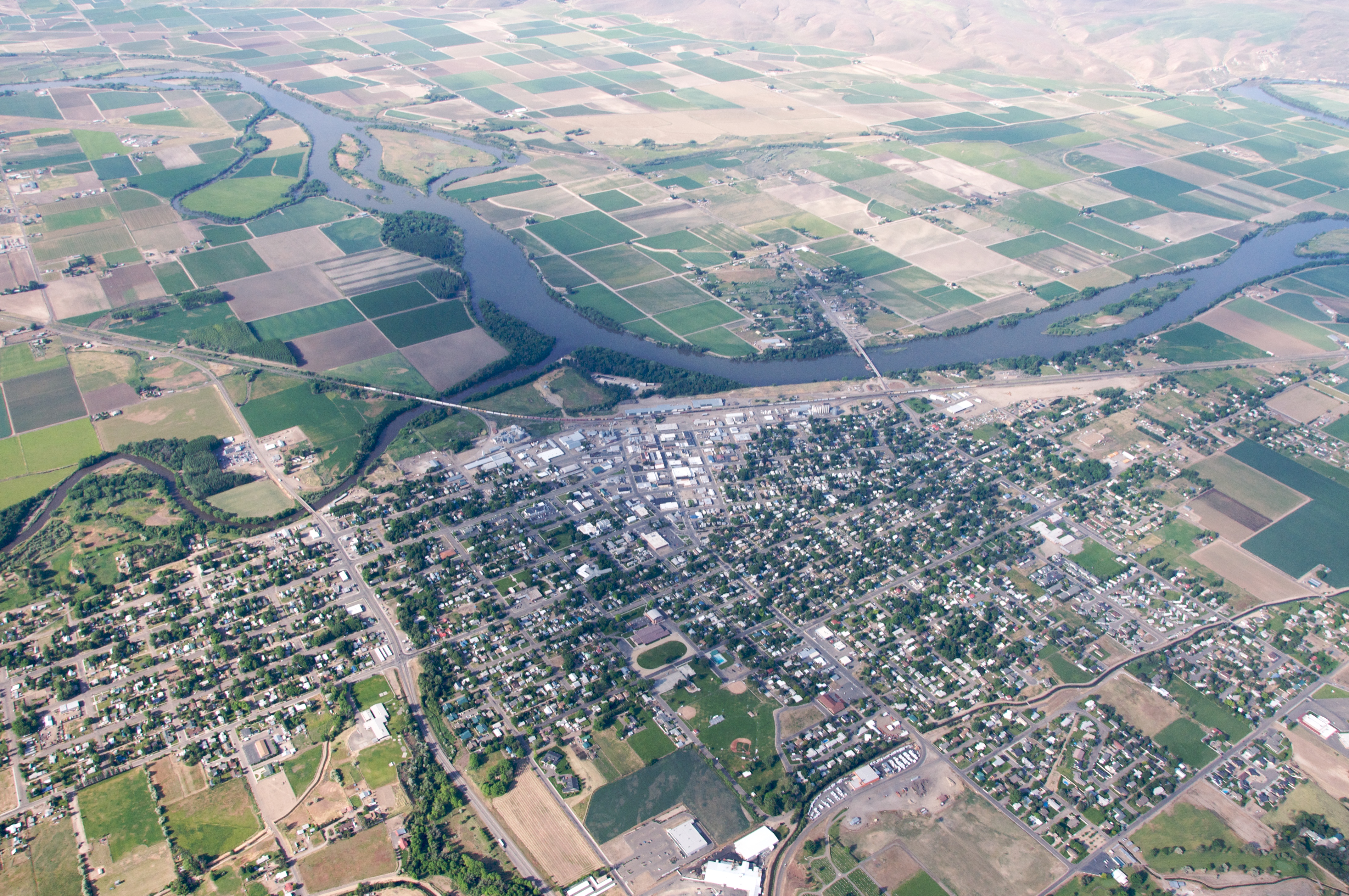
Map of Carson, Oregon
Interactive Map
Recent Nearby Earthquakes
Magnitude 3.0 and greater
| Date▼ | Time↕ | Magnitude↕ | Distance↕ | Depth↕ | Location↕ | Link |
|---|---|---|---|---|---|---|
| 11/23/18 | 5:35 AM | 3 | 90.5 km | 10,000 m | 50km N of McCall, Idaho | usgs.gov |
| 8/14/17 | 7:20 AM | 3.14 | 12.5 km | 8,410 m | 34km S of Joseph, Oregon | usgs.gov |
| 11/3/14 | 4:43 PM | 3.35 | 46.2 km | 2,765 m | 3km E of Joseph, Oregon | usgs.gov |
| 1/24/14 | 11:26 AM | 3 | 96.3 km | 200 m | 13km N of Cascade, Idaho | usgs.gov |
| 12/12/13 | 12:24 AM | 3 | 92.5 km | 9,300 m | 9km SE of McCall, Idaho | usgs.gov |
| 8/2/13 | 1:32 AM | 3.1 | 69.6 km | 1,000 m | 12km NE of Council, Idaho | usgs.gov |
| 7/25/09 | 8:57 AM | 3.2 | 76.9 km | 6,906 m | Oregon | usgs.gov |
| 4/24/07 | 4:33 AM | 3.5 | 95.4 km | 5,000 m | southern Idaho | usgs.gov |
| 9/30/05 | 2:59 PM | 3.5 | 97.7 km | 5,000 m | southern Idaho | usgs.gov |
| 9/28/05 | 11:20 PM | 3.8 | 99 km | 5,000 m | southern Idaho | usgs.gov |
Source: U.S. Geological Survey (USGS)
Carson, Oregon
Carson is an unincorporated community in Baker County, Oregon, United States, on Oregon Route 413 about five miles northwest of Halfway. 1870 Tom Corson settled in the area on a tributary of Pine Creek. His neighbors pronounced his name "Carson" and..
Carson, Oregon Wikipedia Page

About Our Data
The data on this page is estimated using a number of publicly available tools and resources. It is provided without warranty, and could contain inaccuracies. Use at your own risk.