Coos River Facts
| Local Time | |
| Timezone | Pacific Daylight Time |
| Lat & Lng | 43.37761, -124.10122 |
Map of Coos River
Interactive Map
Recent Nearby Earthquakes
Magnitude 3.0 and greater
| Date▼ | Time↕ | Magnitude↕ | Distance↕ | Depth↕ | Location↕ | Link |
|---|---|---|---|---|---|---|
| 12/5/16 | 6:42 AM | 3.3 | 30.1 km | 15,790 m | 14km SW of Barview, Oregon | usgs.gov |
| 1/24/14 | 1:53 PM | 3.83 | 85.9 km | 4,300 m | 44km ENE of Gold Beach, Oregon | usgs.gov |
| 2/26/12 | 10:15 AM | 3.12 | 82.4 km | 21,643 m | offshore Oregon | usgs.gov |
| 2/26/09 | 9:52 AM | 4.24 | 94.4 km | 36,796 m | Oregon | usgs.gov |
| 9/14/05 | 3:46 PM | 3.13 | 85.6 km | 9,954 m | offshore Oregon | usgs.gov |
Source: U.S. Geological Survey (USGS)
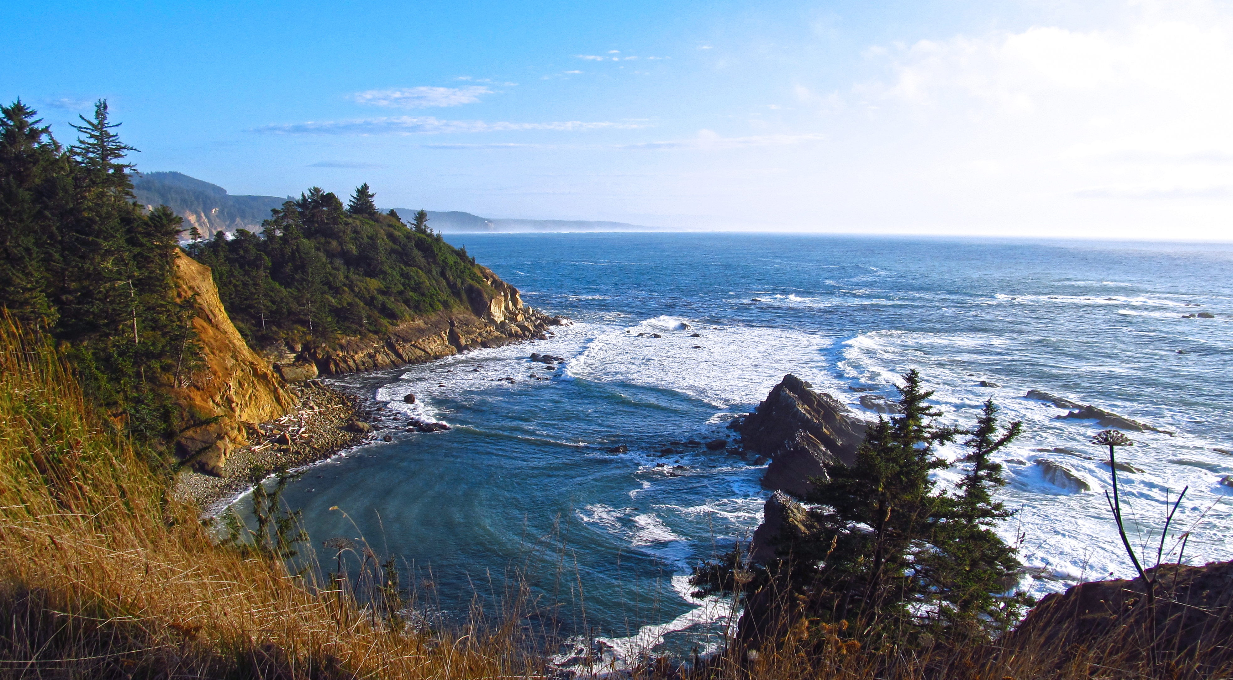
Coos River
The Coos River flows for about 5 miles (8.0 km) into Coos Bay along the Pacific coast of southwest Oregon in the United States. Formed by the confluence of its major tributaries, the South Fork Coos River and the Millicoma River, it drains an importa..
Coos River Wikipedia Page


About Our Data
The data on this page is estimated using a number of publicly available tools and resources. It is provided without warranty, and could contain inaccuracies. Use at your own risk.