Fort Quitman Facts
| Local Time | |
| Timezone | Mountain Daylight Time |
| Lat & Lng | 31.06263, -105.58385 |
Map of Fort Quitman
Interactive Map
Recent Nearby Earthquakes
Magnitude 3.0 and greater
| Date▼ | Time↕ | Magnitude↕ | Distance↕ | Depth↕ | Location↕ | Link |
|---|---|---|---|---|---|---|
| 3/20/14 | 4:44 AM | 3.2 | 25 km | 15,170 m | Chihuahua, Mexico | usgs.gov |
| 11/12/13 | 5:36 PM | 3.1 | 20.1 km | 4,250 m | 7km SSW of Sierra Blanca, Texas | usgs.gov |
| 5/14/13 | 12:05 AM | 3.1 | 77.6 km | 4,900 m | 13km NNE of Van Horn, Texas | usgs.gov |
| 5/5/13 | 12:58 PM | 4 | 91 km | 15,000 m | 97km S of Sierra Blanca, Texas | usgs.gov |
| 5/27/11 | 1:49 AM | 3 | 21.1 km | 10,000 m | Chihuahua, Mexico | usgs.gov |
| 5/27/11 | 1:41 AM | 3.6 | 33.6 km | 10,000 m | Chihuahua, Mexico | usgs.gov |
| 5/19/11 | 10:35 AM | 3.4 | 30.8 km | 10,000 m | Chihuahua, Mexico | usgs.gov |
| 5/17/11 | 8:08 PM | 4.2 | 37.9 km | 10,000 m | Chihuahua, Mexico | usgs.gov |
| 5/14/11 | 10:07 PM | 3.9 | 31.1 km | 10,000 m | Chihuahua, Mexico | usgs.gov |
| 5/10/11 | 6:41 PM | 3.4 | 40.2 km | 10,000 m | Chihuahua, Mexico | usgs.gov |
Source: U.S. Geological Survey (USGS)
Fort Quitman
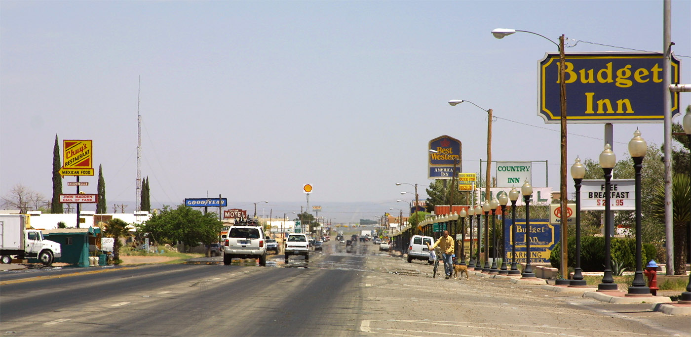
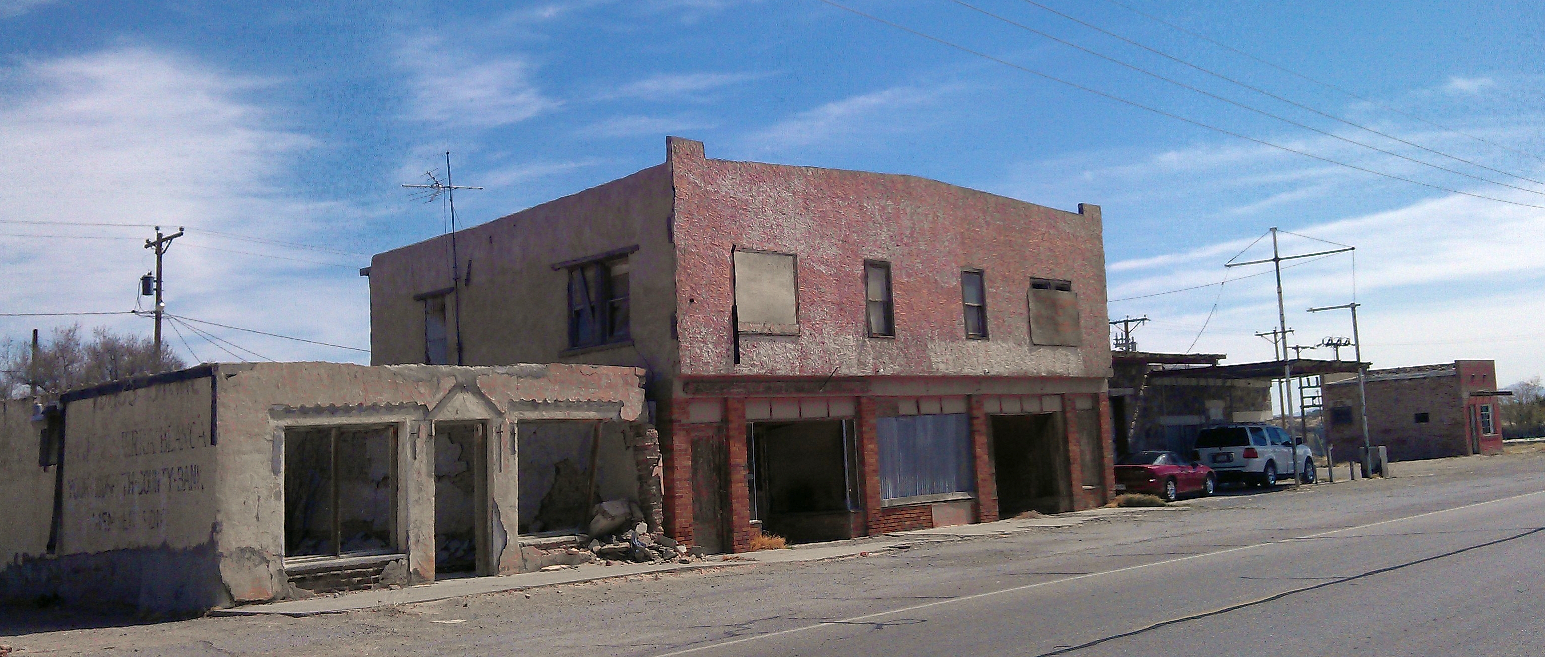
Fort Quitman was a United States Army installation on the Rio Grande in Texas, south of present-day Sierra Blanca, 20 miles southeast of McNary in southern Hudspeth County. The fort, now a ghost town, was named for Mississippi Governor John A. Quitma..
Fort Quitman Wikipedia Page
About Our Data
The data on this page is estimated using a number of publicly available tools and resources. It is provided without warranty, and could contain inaccuracies. Use at your own risk.