Foss, Oregon Facts
| Local Time | |
| Timezone | Pacific Daylight Time |
| Lat & Lng | 45.69622, -123.79763 |
Map of Foss, Oregon
Interactive Map
Recent Nearby Earthquakes
Magnitude 3.0 and greater
| Date▼ | Time↕ | Magnitude↕ | Distance↕ | Depth↕ | Location↕ | Link |
|---|---|---|---|---|---|---|
| 5/19/19 | 4:23 PM | 3.57 | 77.7 km | 44,020 m | 3km ESE of Rose Lodge, Oregon | usgs.gov |
| 2/22/19 | 7:04 PM | 3 | 78.7 km | 43,990 m | 4km SE of Rose Lodge, Oregon | usgs.gov |
| 2/4/18 | 10:37 PM | 3.06 | 73.9 km | 30,150 m | 30km W of Pacific City, Oregon | usgs.gov |
| 10/16/17 | 5:28 AM | 3.38 | 35.8 km | 24,310 m | 21km WNW of Vernonia, Oregon | usgs.gov |
| 11/2/16 | 2:52 PM | 3.55 | 58.1 km | 37,970 m | 7km WNW of Warrenton, Oregon | usgs.gov |
| 10/4/16 | 4:29 AM | 3.03 | 91.3 km | 23,700 m | 4km WNW of Woodburn, Oregon | usgs.gov |
| 7/17/16 | 1:16 AM | 3.03 | 80.7 km | 26,650 m | 1km SSW of Beaverton, Oregon | usgs.gov |
| 6/25/15 | 1:24 PM | 3.13 | 36.1 km | 51,602 m | 25km NW of Yamhill, Oregon | usgs.gov |
| 12/19/14 | 2:01 PM | 3.08 | 84.5 km | 24,379 m | 12km SSE of Grand Ronde, Oregon | usgs.gov |
| 4/7/14 | 3:33 AM | 3.32 | 77.3 km | 19,387 m | 6km NW of Sherwood, Oregon | usgs.gov |
Source: U.S. Geological Survey (USGS)
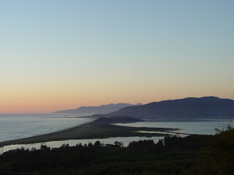
Foss, Oregon
Foss is an unincorporated community in Tillamook County, Oregon, United States. It is located about four miles east of Mohler, near the Nehalem River. Foss is the site of an important river flood gauge. was named for Herbert Foss, who owned timber i..
Foss, Oregon Wikipedia Page

About Our Data
The data on this page is estimated using a number of publicly available tools and resources. It is provided without warranty, and could contain inaccuracies. Use at your own risk.