Metcalf Gap Facts
| Local Time | |
| Timezone | Central Daylight Time |
| Lat & Lng | 32.70985, -98.44144 |
Map of Metcalf Gap
Interactive Map
Recent Nearby Earthquakes
Magnitude 3.0 and greater
| Date▼ | Time↕ | Magnitude↕ | Distance↕ | Depth↕ | Location↕ | Link |
|---|---|---|---|---|---|---|
| 1/13/14 | 5:40 PM | 3.1 | 87 km | 5,000 m | 2km ESE of Reno, Texas | usgs.gov |
| 12/23/13 | 1:11 PM | 3.3 | 84.3 km | 6,390 m | 1km S of Reno, Texas | usgs.gov |
| 12/22/13 | 5:31 PM | 3.3 | 87.6 km | 5,000 m | 2km NE of Reno, Texas | usgs.gov |
| 12/9/13 | 9:23 AM | 3.7 | 45.1 km | 5,000 m | 17km NNE of Mineral Wells, Texas | usgs.gov |
| 12/8/13 | 6:10 AM | 3.6 | 83.6 km | 4,990 m | 3km WNW of Azle, Texas | usgs.gov |
| 11/29/13 | 6:14 AM | 3.1 | 89 km | 5,000 m | 1km S of Pelican Bay, Texas | usgs.gov |
| 11/28/13 | 7:58 AM | 3.7 | 44.1 km | 5,000 m | 18km N of Mineral Wells, Texas | usgs.gov |
| 11/25/13 | 7:43 AM | 3.4 | 80.5 km | 5,000 m | 4km SW of Reno, Texas | usgs.gov |
| 11/20/13 | 12:40 AM | 3.6 | 86.3 km | 5,000 m | 1km NNW of Azle, Texas | usgs.gov |
| 11/9/13 | 7:54 PM | 3 | 76.2 km | 5,000 m | 5km SSE of Springtown, Texas | usgs.gov |
Source: U.S. Geological Survey (USGS)
Metcalf Gap
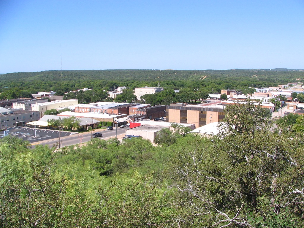
Metcalf Gap is a pass through the Palo Pinto Mountains in western Palo Pinto County, Texas. The bluffs of the mountains form an escarpment running southwest to northeast, intersected by the Gap, and rise some 250–300 feet (75–90 m) above the pastures..
Metcalf Gap Wikipedia Page

About Our Data
The data on this page is estimated using a number of publicly available tools and resources. It is provided without warranty, and could contain inaccuracies. Use at your own risk.