Mohawk, Oregon Facts
| Local Time | |
| Timezone | Pacific Daylight Time |
| Lat & Lng | 44.14235, -122.91619 |
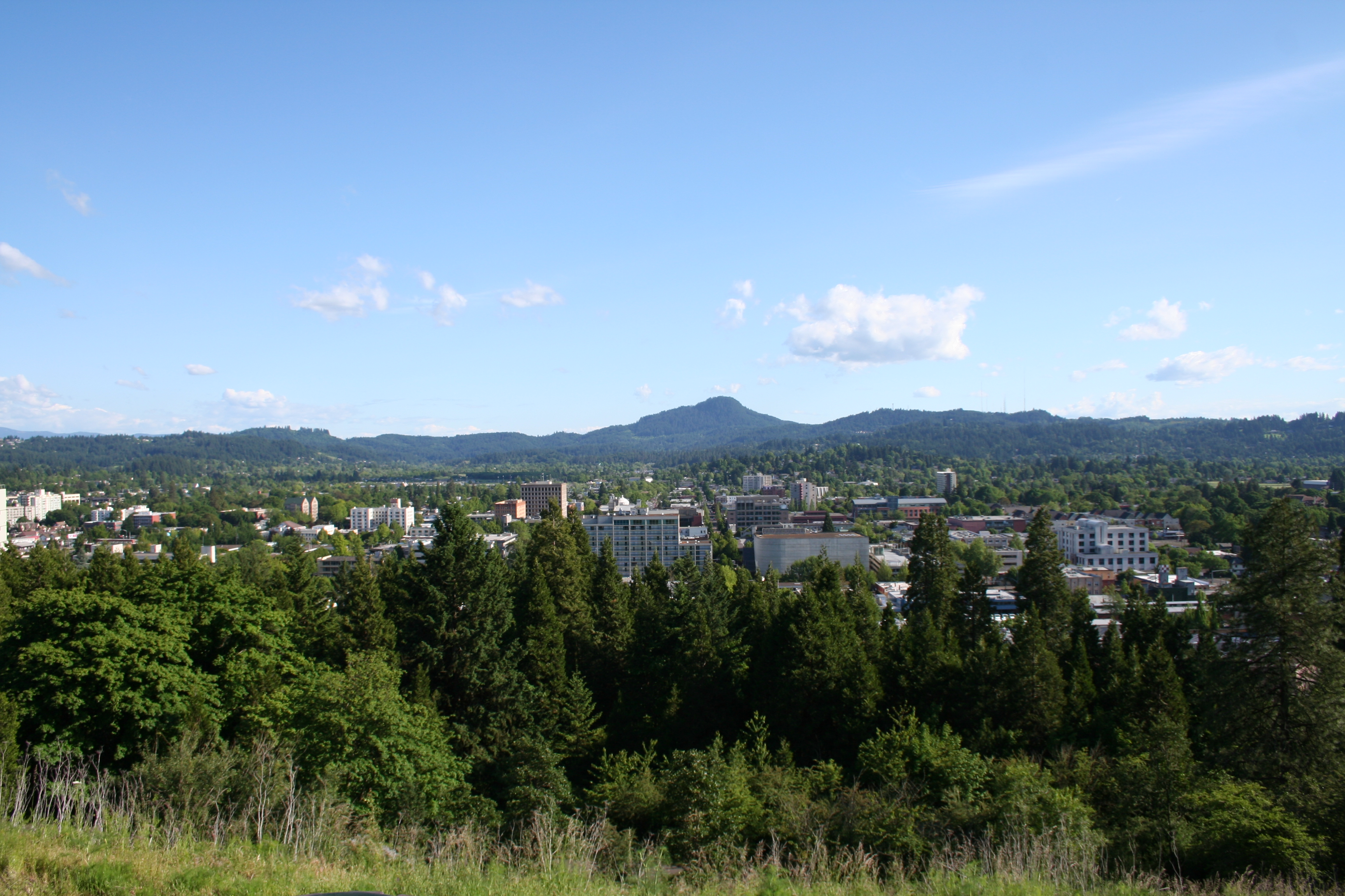
Map of Mohawk, Oregon
Interactive Map
Recent Nearby Earthquakes
Magnitude 3.0 and greater
| Date▼ | Time↕ | Magnitude↕ | Distance↕ | Depth↕ | Location↕ | Link |
|---|---|---|---|---|---|---|
| 4/15/18 | 3:45 AM | 3.08 | 90.2 km | 18,380 m | 6km SSE of Silverton, Oregon | usgs.gov |
| 7/4/15 | 3:42 PM | 4.14 | 9 km | 7,950 m | 15km ENE of Springfield, Oregon | usgs.gov |
| 3/4/06 | 5:38 PM | 3.3 | 93 km | 42,775 m | Oregon | usgs.gov |
| 12/30/00 | 1:52 AM | 3.1 | 69.7 km | 61,944 m | Oregon | usgs.gov |
| 8/2/96 | 11:46 AM | 3.53 | 97.3 km | 28,715 m | Oregon | usgs.gov |
| 3/13/95 | 4:51 AM | 3.02 | 53.5 km | 23,505 m | Oregon | usgs.gov |
| 3/7/63 | 11:53 PM | 4.6 | 82.9 km | — | Oregon | usgs.gov |
| 8/19/61 | 4:56 AM | 4.5 | 70.3 km | 33,000 m | Oregon | usgs.gov |
Source: U.S. Geological Survey (USGS)
Mohawk, Oregon
Mohawk is an unincorporated community in Lane County, Oregon, United States, on the Mohawk River, about seven miles upstream from Springfield. a post office was established at this locale in 1862, it was named "Mohawk" after the river. The post offi..
Mohawk, Oregon Wikipedia Page


About Our Data
The data on this page is estimated using a number of publicly available tools and resources. It is provided without warranty, and could contain inaccuracies. Use at your own risk.