Offutt, Kentucky Facts
| Local Time | |
| Timezone | Eastern Daylight Time |
| Lat & Lng | 37.85009, -82.72960 |
Map of Offutt, Kentucky
Interactive Map
Recent Nearby Earthquakes
Magnitude 3.0 and greater
| Date▼ | Time↕ | Magnitude↕ | Distance↕ | Depth↕ | Location↕ | Link |
|---|---|---|---|---|---|---|
| 11/10/12 | 5:08 PM | 4.2 | 84 km | 17,030 m | 17km SE of Hazard, Kentucky | usgs.gov |
| 10/28/97 | 10:36 AM | 3.4 | 98.6 km | 1,000 m | West Virginia | usgs.gov |
| 4/19/96 | 8:50 AM | 3.9 | 99.8 km | 0 m | eastern Kentucky | usgs.gov |
| 10/26/95 | 12:37 AM | 3.9 | 95 km | 1,000 m | eastern Kentucky | usgs.gov |
| 9/8/90 | 12:03 AM | 3.3 | 91.1 km | 5,000 m | eastern Kentucky | usgs.gov |
| 4/10/89 | 6:12 PM | 4.3 | 98.5 km | 0 m | West Virginia | usgs.gov |
| 4/14/88 | 11:37 PM | 4.1 | 94.5 km | 0 m | West Virginia | usgs.gov |
| 8/17/83 | 2:04 PM | 3.1 | 69.3 km | 10,000 m | 13km SSW of Greenup, Kentucky | usgs.gov |
| 8/17/83 | 2:03 PM | 3.5 | 69.1 km | 11,900 m | eastern Kentucky | usgs.gov |
| 11/9/79 | 9:29 PM | 3.6 | 64.7 km | 10,000 m | eastern Kentucky | usgs.gov |
Source: U.S. Geological Survey (USGS)
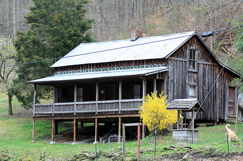
Offutt, Kentucky
Offutt (originally known as Ward City) is an unincorporated community and coal town in Johnson County, Kentucky, United States. The community became known as Offutt during the early 1900s after James Offutt, the president of Rockcastle Lumber Company..
Offutt, Kentucky Wikipedia Page
About Our Data
The data on this page is estimated using a number of publicly available tools and resources. It is provided without warranty, and could contain inaccuracies. Use at your own risk.