Ruby Hill, Nevada Facts
| Local Time | |
| Timezone | Pacific Daylight Time |
| Lat & Lng | 39.50465, -115.98617 |
Map of Ruby Hill, Nevada
Interactive Map
Recent Nearby Earthquakes
Magnitude 3.0 and greater
| Date▼ | Time↕ | Magnitude↕ | Distance↕ | Depth↕ | Location↕ | Link |
|---|---|---|---|---|---|---|
| 2/22/19 | 3:50 AM | 3 | 53.6 km | 0 m | 42km NNW of Currant, Nevada | usgs.gov |
| 9/8/18 | 5:27 PM | 3 | 42.3 km | 1,200 m | 43km SSW of Eureka, Nevada | usgs.gov |
| 3/27/17 | 9:19 AM | 3 | 35 km | 400 m | 35km S of Eureka, Nevada | usgs.gov |
| 12/4/16 | 1:08 PM | 3.2 | 49.1 km | 1,500 m | 47km ESE of Eureka, Nevada | usgs.gov |
| 6/3/16 | 7:19 AM | 4 | 16.8 km | 0 m | 13km NE of Eureka, Nevada | usgs.gov |
| 2/28/16 | 6:20 AM | 3.4 | 22.1 km | 11,700 m | 19km ENE of Eureka, Nevada | usgs.gov |
| 12/17/15 | 6:10 AM | 3.4 | 94.3 km | 5,200 m | 40km S of Carlin, Nevada | usgs.gov |
| 12/17/15 | 6:00 AM | 3.2 | 96.5 km | 0 m | 38km S of Carlin, Nevada | usgs.gov |
| 5/24/15 | 5:06 PM | 3.6 | 59 km | 0 m | 57km WNW of Currant, Nevada | usgs.gov |
| 5/5/15 | 2:03 PM | 3.4 | 54.3 km | 0 m | 41km NNW of Currant, Nevada | usgs.gov |
Source: U.S. Geological Survey (USGS)
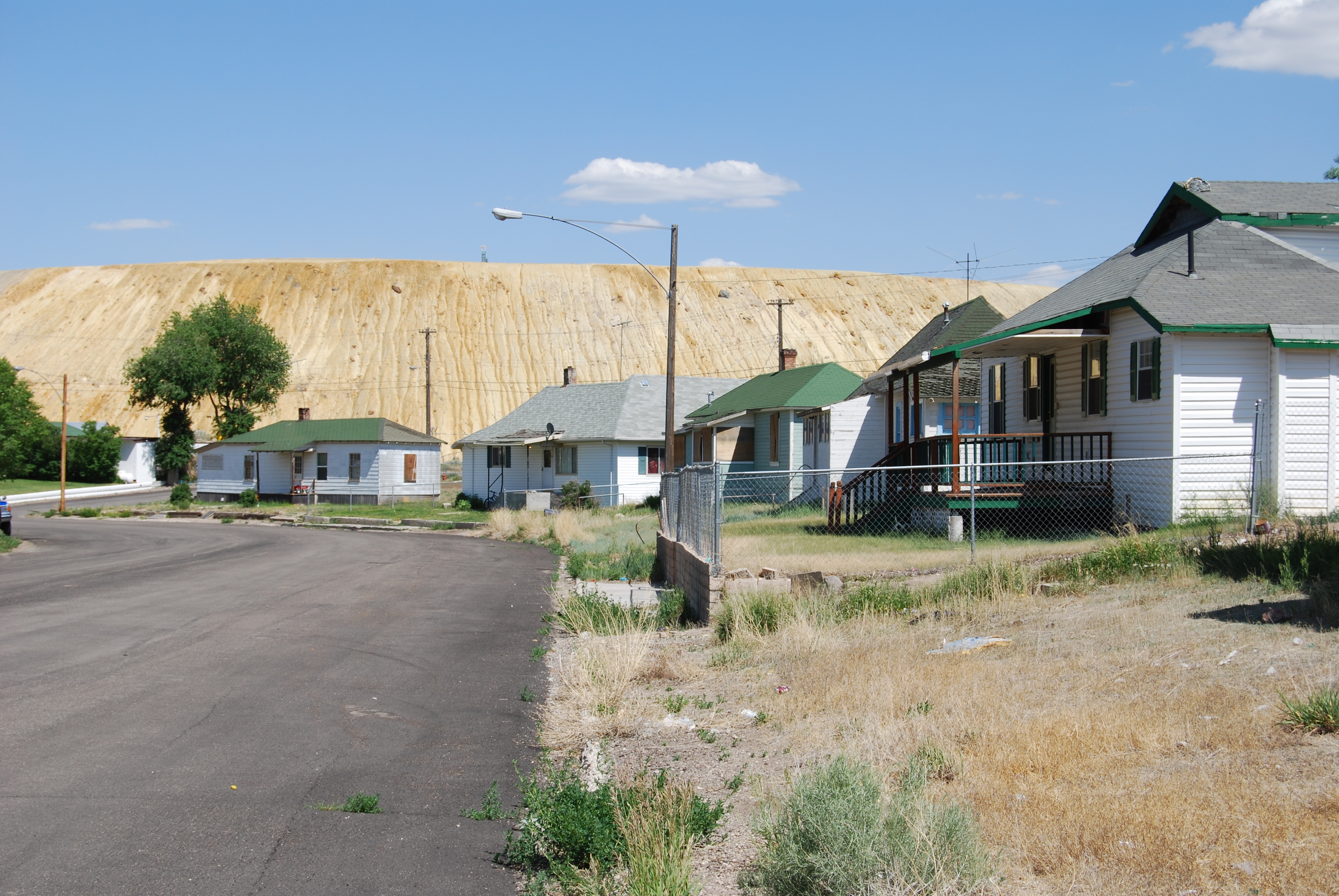
Ruby Hill, Nevada
Ruby Hill is now a ghost town in Eureka County, in the central part of the U.S. state of Nevada, approximately 2.6 mi (4.2 km) west of the town of Eureka, Nevada. In 1910, the town was destroyed by a powerful storm that washed away the railroad and o..
Ruby Hill, Nevada Wikipedia Page


About Our Data
The data on this page is estimated using a number of publicly available tools and resources. It is provided without warranty, and could contain inaccuracies. Use at your own risk.