Categories in Cúa
Auto Parts StoreCar repairCar Repair and MaintenanceCar WashMechanicImport Export CompanyMedical Equipment SupplierMetal FabricatorWholesalersClothing storesShoe storesInternet Service ProviderTelecommunications Service ProviderChristian ChurchChurchesGovernment OfficeNon-Profit OrganizationReligionReligious OrganizationCell phone accessory storeMobile Phone Repair ShopConstruction of buildingsHardware storeHome Goods StoreHousing DevelopmentEducationEducation CenterElementary SchoolPreschoolGraphic DesignerStadiums and arenasTourist AttractionBakeriesBars, pubs and tavernsBurger restaurantsButcherCake ShopCoffee ShopFamily RestaurantFast food restaurantsFood delivery servicesGrocery stores and supermarketsIce Cream ShopInternet cafesPastry ShopPizzaRestaurantsBanksCommunity Health CenterHospitals
Showing 1-50 of 84
Industries
Business Distribution by Industry in Cúa
| Industry Description | Number of Establishments |
|---|---|
| Shopping | 89 |
| Education | 83 |
| Grocery stores and supermarkets | 60 |
| Restaurants | 42 |
| Real estate | 39 |
| Other accommodation | 28 |
| Churches | 23 |
| Car repair | 23 |
| Corporate management | 23 |
| Construction of houses | 21 |
| Apartments | 19 |
Map of Cúa
Interactive Map
Neighborhoods in Cúa
Percentage of businesses by neighborhood in Cúa
Area Codes
Percentage Area Codes used by businesses in Cúa
Price Distribution
Business distribution by price for Cúa
Recent Nearby Earthquakes
Magnitude 3.0 and greater
| Date▼ | Time↕ | Magnitude↕ | Distance↕ | Depth↕ | Location↕ | Link |
|---|---|---|---|---|---|---|
| 8/30/17 | 2:01 PM | 4.5 | 75.2 km | 11,030 m | 25km NNE of Guatire, Venezuela | usgs.gov |
| 8/16/14 | 12:39 PM | 4 | 92.4 km | 7,700 m | 12km ENE of Ocumare de la Costa, Venezuela | usgs.gov |
| 5/4/09 | 9:27 AM | 4 | 23.1 km | 3,500 m | Miranda, Venezuela | usgs.gov |
| 5/4/09 | 9:10 AM | 5.5 | 14.4 km | 6,100 m | Miranda, Venezuela | usgs.gov |
| 4/5/09 | 8:24 PM | 4.3 | 66.4 km | 10,000 m | offshore Vargas, Venezuela | usgs.gov |
| 10/25/95 | 12:42 PM | 4.1 | 59.5 km | 10,000 m | Vargas, Venezuela | usgs.gov |
| 8/25/86 | 5:25 PM | 4.9 | 21 km | 10,000 m | Miranda, Venezuela | usgs.gov |
| 8/18/86 | 8:55 PM | 4.8 | 25.6 km | 10,300 m | Miranda, Venezuela | usgs.gov |
| 12/2/80 | 7:44 AM | 4.2 | 92.1 km | 35,000 m | offshore Aragua, Venezuela | usgs.gov |
| 7/30/67 | 12:00 AM | 6.6 | 65.8 km | 25,000 m | offshore Vargas, Venezuela | usgs.gov |
Source: U.S. Geological Survey (USGS)
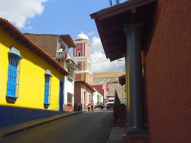
Cúa
Cúa (founded in 1690) is a small city capital of the Urdaneta Municipality, located in the Miranda State (Estado Miranda) in the north of Venezuela with an altitude of 490 m. Cúa is noted for warm and clear weather, with year-round sunshine and 60 da..
Cúa Wikipedia Page


About Our Data
The data on this page is estimated using a number of publicly available tools and resources. It is provided without warranty, and could contain inaccuracies. Use at your own risk.