Forari Facts
| Local Time | |
| Timezone | Vanuatu Standard Time |
| Lat & Lng | -17.66667, 168.51667 |
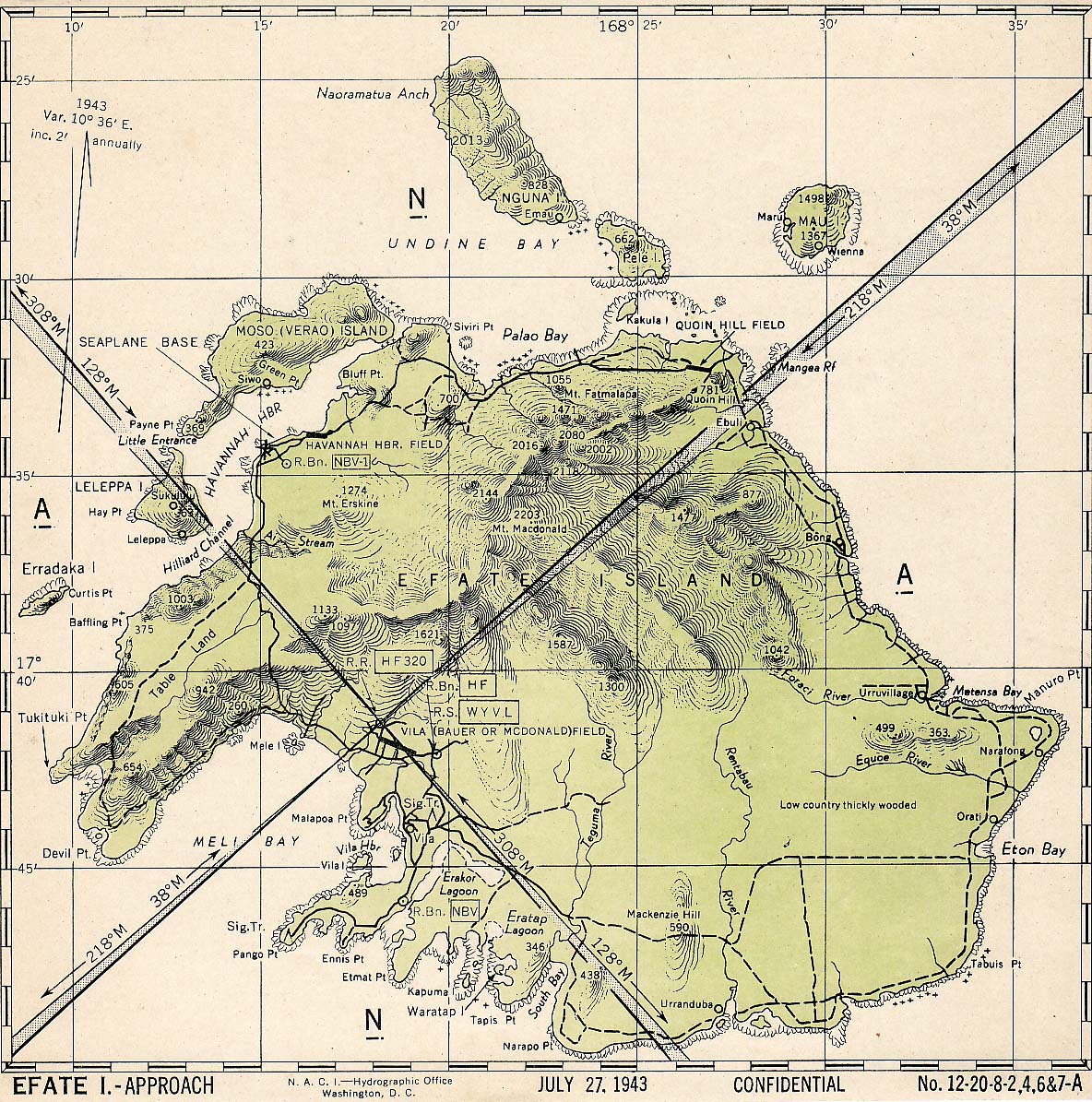
Map of Forari
Interactive Map
Recent Nearby Earthquakes
Magnitude 3.0 and greater
| Date▼ | Time↕ | Magnitude↕ | Distance↕ | Depth↕ | Location↕ | Link |
|---|---|---|---|---|---|---|
| 7/26/19 | 11:08 PM | 4.3 | 21.1 km | 121,480 m | 30km ESE of Port-Vila, Vanuatu | usgs.gov |
| 6/13/19 | 12:12 PM | 4.8 | 30.3 km | 138,050 m | 17km S of Port-Vila, Vanuatu | usgs.gov |
| 3/3/19 | 9:54 PM | 4.4 | 23.6 km | 133,310 m | 23km SE of Port-Vila, Vanuatu | usgs.gov |
| 9/27/18 | 2:37 AM | 4.7 | 22.7 km | 120,430 m | 22km SE of Port-Vila, Vanuatu | usgs.gov |
| 8/10/18 | 5:18 AM | 4.1 | 16.7 km | 198,210 m | 36km NE of Port-Vila, Vanuatu | usgs.gov |
| 1/30/18 | 8:25 AM | 4.5 | 26.3 km | 135,740 m | 43km E of Port-Vila, Vanuatu | usgs.gov |
| 10/7/16 | 3:16 AM | 4.4 | 26.9 km | 63,270 m | 10km S of Port-Vila, Vanuatu | usgs.gov |
| 4/3/16 | 5:17 PM | 4.6 | 24.7 km | 35,000 m | 45km ENE of Port-Vila, Vanuatu | usgs.gov |
| 2/3/16 | 9:06 PM | 4 | 29.9 km | 10,000 m | 11km NW of Port-Vila, Vanuatu | usgs.gov |
| 12/28/15 | 2:20 PM | 4.6 | 32.6 km | 106,600 m | 36km SE of Port-Vila, Vanuatu | usgs.gov |
Source: U.S. Geological Survey (USGS)
Forari
Forari is one of the three most used ports in Vanuatu. is on the eastern end of Éfaté Island. contains a manganese mine which was opened in 1962 by the French and closed in 1979.In 1971 it was reported that "workable deposits of manganese oxides oc..
Forari Wikipedia Page
About Our Data
The data on this page is estimated using a number of publicly available tools and resources. It is provided without warranty, and could contain inaccuracies. Use at your own risk.