Poutasi Facts
| Local Time | |
| Timezone | Samoa Standard Time |
| Lat & Lng | -14.02950, -171.69275 |
Map of Poutasi
Interactive Map
Recent Nearby Earthquakes
Magnitude 3.0 and greater
| Date▼ | Time↕ | Magnitude↕ | Distance↕ | Depth↕ | Location↕ | Link |
|---|---|---|---|---|---|---|
| 7/22/16 | 11:23 PM | 4.8 | 73.4 km | 10,000 m | 72km S of Matavai, Samoa | usgs.gov |
| 3/8/15 | 9:44 PM | 4 | 96.3 km | 198,310 m | 93km SSW of Lotofaga, Samoa | usgs.gov |
| 7/15/13 | 2:43 PM | 4.4 | 92.6 km | 10,000 m | Samoa Islands | usgs.gov |
| 6/30/97 | 2:32 PM | 4.5 | 98 km | 23,700 m | Samoa Islands | usgs.gov |
| 10/3/95 | 1:00 AM | 4.9 | 46.3 km | 38,300 m | Samoa Islands | usgs.gov |
| 6/9/87 | 2:24 PM | 4.5 | 67.3 km | 70,000 m | Samoa Islands | usgs.gov |
| 5/12/87 | 5:18 AM | 4.8 | 96 km | 33,000 m | Samoa Islands | usgs.gov |
| 11/14/84 | 7:38 PM | 4.5 | 59.2 km | 33,000 m | Samoa Islands | usgs.gov |
| 4/28/84 | 3:36 PM | 5.1 | 84.8 km | 33,000 m | Samoa Islands | usgs.gov |
| 12/5/77 | 8:50 AM | 4.8 | 25.6 km | 36,000 m | Samoa Islands | usgs.gov |
Source: U.S. Geological Survey (USGS)
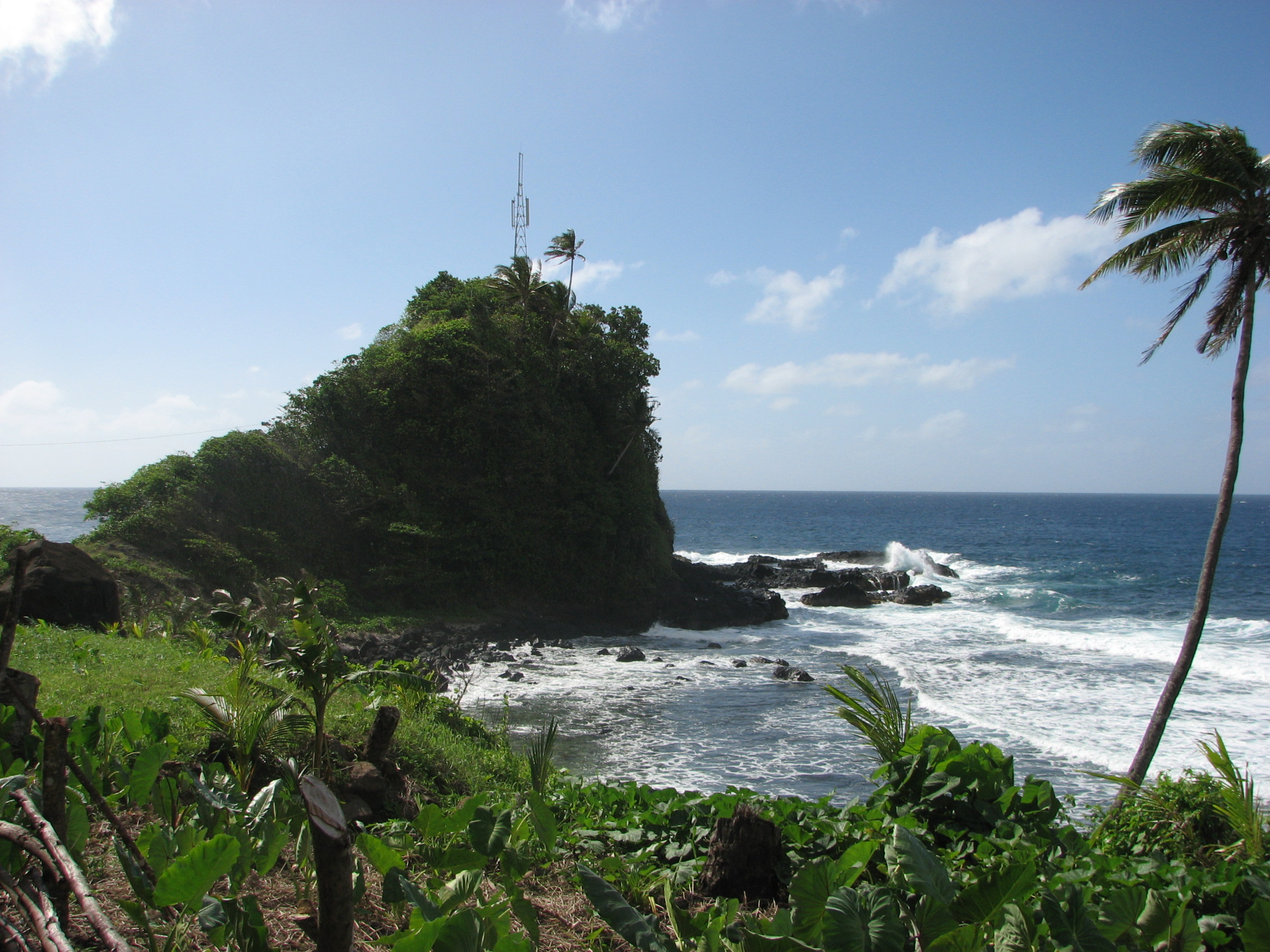
Poutasi
Poutasi is a village on the south east coast of Upolu island in Samoa. The population was 379 in the 2006 Census. The village is part of Falealili Electoral Constituency (Faipule District) in the larger political district of Atua. Poutasi was extensi..
Poutasi Wikipedia Page

About Our Data
The data on this page is estimated using a number of publicly available tools and resources. It is provided without warranty, and could contain inaccuracies. Use at your own risk.