Getahovit Facts
| Local Time | |
| Timezone | Armenia Standard Time |
| Lat & Lng | 40.89784, 45.13971 |
| Postal Codes | 4008 |
Map of Getahovit
Interactive Map
Recent Nearby Earthquakes
Magnitude 3.0 and greater
| Date▼ | Time↕ | Magnitude↕ | Distance↕ | Depth↕ | Location↕ | Link |
|---|---|---|---|---|---|---|
| 6/6/18 | 1:07 PM | 4.2 | 71.5 km | 10,000 m | 2km NE of Arevashogh, Armenia | usgs.gov |
| 6/7/17 | 6:25 PM | 4.7 | 91.8 km | 10,000 m | 17km S of Tsnori, Georgia | usgs.gov |
| 7/21/16 | 3:17 PM | 4.2 | 84 km | 15,760 m | 11km NNE of Metsavan, Armenia | usgs.gov |
| 7/12/16 | 10:14 AM | 4.8 | 99.6 km | 10,000 m | 19km SW of Dmanisi, Georgia | usgs.gov |
| 4/6/15 | 1:26 AM | 4.1 | 73.6 km | 10,000 m | 5km SW of Lanjaghbyur, Armenia | usgs.gov |
| 10/3/14 | 9:45 AM | 4 | 37.1 km | 34,270 m | 7km WNW of Tovuz, Azerbaijan | usgs.gov |
| 9/27/11 | 8:58 AM | 4.2 | 98.6 km | 10,000 m | Georgia (Sak'art'velo) | usgs.gov |
| 6/18/08 | 11:04 AM | 3.7 | 80 km | 10,000 m | Georgia (Sak'art'velo) | usgs.gov |
| 4/29/08 | 5:20 AM | 3.7 | 96.7 km | 10,000 m | Armenia | usgs.gov |
| 7/9/07 | 9:33 AM | 4.4 | 86.5 km | 15,000 m | Armenia | usgs.gov |
Source: U.S. Geological Survey (USGS)
Getahovit
(Armenian: Գետահովիտ; also Tala, Talakand) is a town in the Tavush Province of Armenia.
Getahovit Wikipedia Page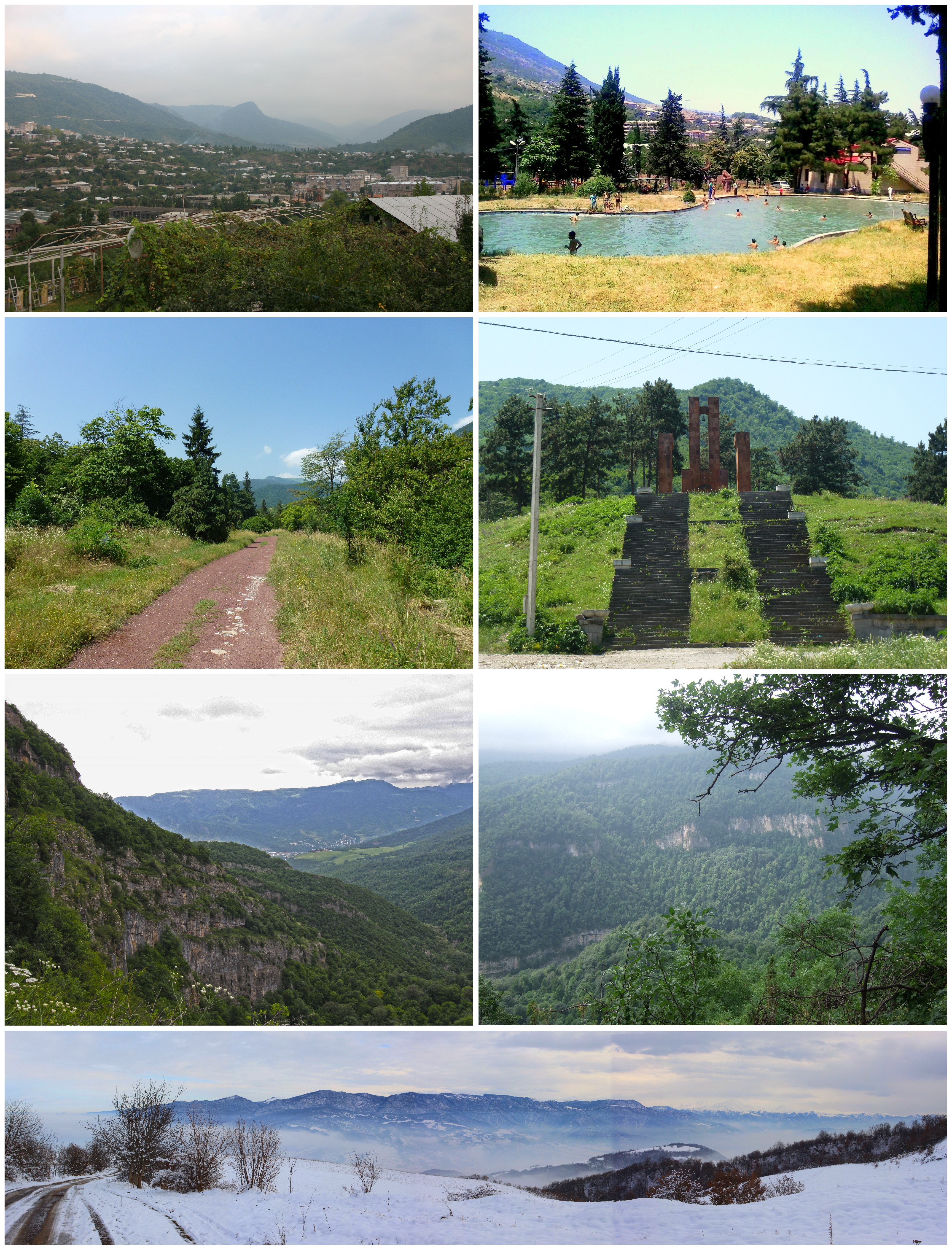


About Our Data
The data on this page is estimated using a number of publicly available tools and resources. It is provided without warranty, and could contain inaccuracies. Use at your own risk.