Pkhrut Facts
| Local Time | |
| Timezone | Armenia Standard Time |
| Lat & Lng | 39.12702, 46.22512 |
Map of Pkhrut
Interactive Map
Recent Nearby Earthquakes
Magnitude 3.0 and greater
| Date▼ | Time↕ | Magnitude↕ | Distance↕ | Depth↕ | Location↕ | Link |
|---|---|---|---|---|---|---|
| 2/28/17 | 6:17 AM | 3.6 | 26.9 km | 10,000 m | 5km NW of Agarak, Armenia | usgs.gov |
| 8/2/16 | 10:15 AM | 3.8 | 88.4 km | 7,700 m | 29km W of Ahar, Iran | usgs.gov |
| 1/7/15 | 11:00 PM | 4.1 | 26.6 km | 10,000 m | 18km SSE of Hats'avan, Armenia | usgs.gov |
| 3/8/13 | 1:45 PM | 4 | 92.9 km | 4,000 m | northwestern Iran | usgs.gov |
| 3/3/13 | 8:59 PM | 4.2 | 89.9 km | 6,000 m | northwestern Iran | usgs.gov |
| 2/12/13 | 10:24 PM | 4.2 | 84.2 km | 10,000 m | northwestern Iran | usgs.gov |
| 1/28/13 | 7:38 PM | 4.4 | 96.5 km | 4,000 m | 33km WSW of Ahar, Iran | usgs.gov |
| 11/16/12 | 3:58 AM | 4.9 | 70.5 km | 15,000 m | northwestern Iran | usgs.gov |
| 11/8/12 | 9:45 AM | 4.3 | 97.1 km | 10,000 m | northwestern Iran | usgs.gov |
| 11/7/12 | 6:26 AM | 5.4 | 85.9 km | 10,000 m | northwestern Iran | usgs.gov |
Source: U.S. Geological Survey (USGS)
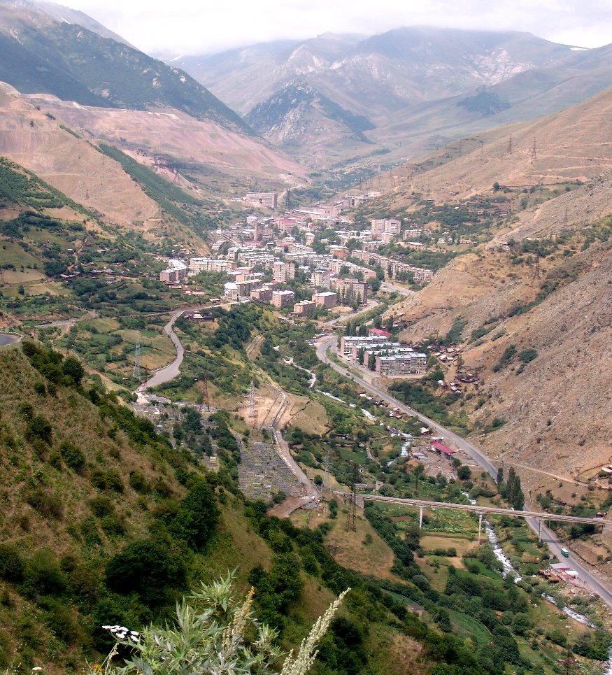
Pkhrut
, is a village in the Syunik Province of Armenia. It allegedly belongs to the community of Lernadzor. However, Pkhrut is not listed in the 2011 Armenian census.
Pkhrut Wikipedia Page

About Our Data
The data on this page is estimated using a number of publicly available tools and resources. It is provided without warranty, and could contain inaccuracies. Use at your own risk.