Hum, Trebinje Facts
| Local Time | |
| Timezone | Central European Summer Time |
| Lat & Lng | 42.72917, 18.19417 |
| Postal Codes | 89203 |
Map of Hum, Trebinje
Interactive Map
Recent Nearby Earthquakes
Magnitude 3.0 and greater
| Date▼ | Time↕ | Magnitude↕ | Distance↕ | Depth↕ | Location↕ | Link |
|---|---|---|---|---|---|---|
| 12/23/16 | 11:39 PM | 4.3 | 35.3 km | 13,940 m | 6km N of Igalo, Montenegro | usgs.gov |
| 11/9/16 | 3:58 PM | 4.4 | 25.9 km | 19,930 m | 5km SE of Bileca, Bosnia and Herzegovina | usgs.gov |
| 2/27/16 | 2:50 AM | 3.5 | 32.1 km | 10,000 m | 8km N of Igalo, Montenegro | usgs.gov |
| 1/8/16 | 1:07 PM | 4.6 | 33.3 km | 26,730 m | 8km ENE of Bileca, Bosnia and Herzegovina | usgs.gov |
| 5/1/15 | 9:25 PM | 4 | 22 km | 2,000 m | 11km SE of Podgora, Croatia | usgs.gov |
| 9/30/14 | 3:12 PM | 4.4 | 37.5 km | 4,000 m | 17km NE of Ljubinje, Bosnia and Herzegovina | usgs.gov |
| 12/14/11 | 7:47 PM | 4.3 | 32.3 km | 10,000 m | Bosnia and Herzegovina | usgs.gov |
| 11/14/08 | 1:26 PM | 4.2 | 34 km | 11,000 m | Montenegro | usgs.gov |
| 3/31/08 | 12:14 AM | 4.2 | 15.9 km | 9,000 m | Croatia | usgs.gov |
| 2/19/06 | 8:55 PM | 3 | 32.3 km | 11,000 m | Bosnia and Herzegovina | usgs.gov |
Source: U.S. Geological Survey (USGS)
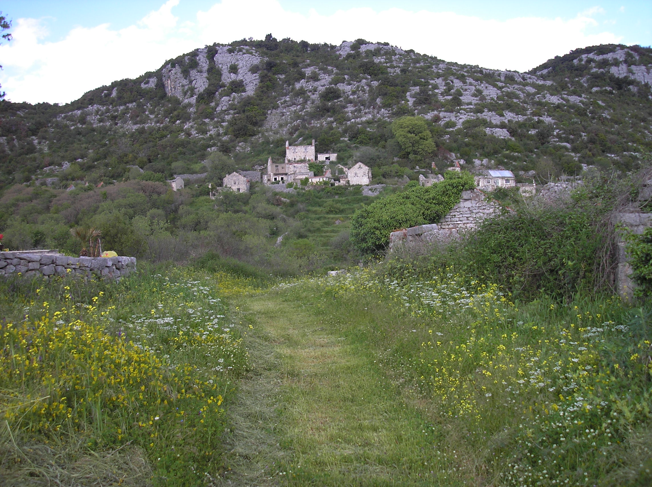
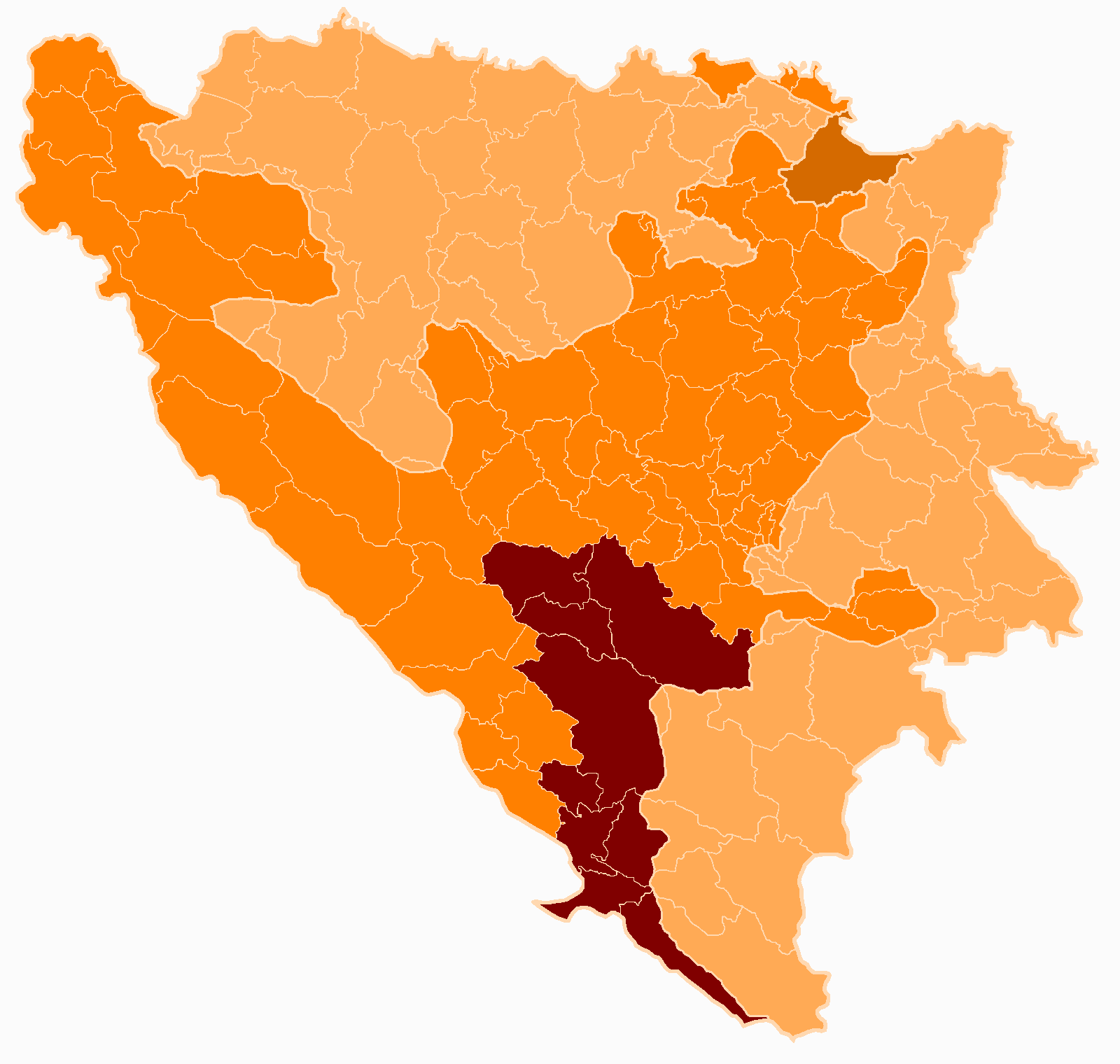
Hum, Trebinje
Hum (Serbian Cyrillic: Хум) is a built-up area in the municipality of Trebinje, Republika Srpska, Bosnia and Herzegovina.
Hum, Trebinje Wikipedia Page
About Our Data
The data on this page is estimated using a number of publicly available tools and resources. It is provided without warranty, and could contain inaccuracies. Use at your own risk.