Businesses in Wolpertshausen
Hotels & Travel
Restaurants
Automotive
Financial Services
Medical
Beauty & Spas
Community & Government
Industries
Business Distribution by Industry Industry: 20.7%
Shopping: 15.5%
Professional Services: 14.6%
Home Services: 11.7%
Automotive: 5.6%
Financial Services: 5.6%
Other: 26.4%
| Industry Description | Number of Establishments | Average Google Rating | Businesses per 1,000 residents |
|---|---|---|---|
| General contractors | 9 | 4.7 | 15.6 |
| Area of Wolpertshausen, Baden-Württemberg | 0.75 km² |
| Population | 577 |
| Male Population | 295 (51.1%) |
| Female Population | 282 (48.9%) |
| Population change from 1975 to 2015 | +20.5% |
| Population change from 2000 to 2015 | +1.4% |
| Median Age | 43 |
| Male Median Age | 41.7 |
| Female Median Age | 44.4 |
| Area Codes | 7904, 7906, 7907 |
| Neighborhoods | Cröffelbach, Haßfelden, Hopfach, Hörlebach, Reinsberg |
| Local Time | Saturday 6:37 PM |
| Timezone | Central European Summer Time |
| Lat & Lng | 49.1675° / 9.84472° |
| Postal Codes | 74549 |
Wolpertshausen, Baden-Württemberg - Map
Wolpertshausen, Baden-Württemberg Population
Years 1975 to 2015| Data | 1975 | 1990 | 2000 | 2015 |
|---|---|---|---|---|
| Population | 479 | 489 | 569 | 577 |
| Population Density | 638.7 / km² | 652.0 / km² | 758.7 / km² | 769.3 / km² |
Wolpertshausen Population change from 2000 to 2015
Increase of 1.4% from year 2000 to 2015| Location | Change since 1975 | Change since 1990 | Change since 2000 |
|---|---|---|---|
| Wolpertshausen, Baden-Württemberg | +20.5% | +18% | +1.4% |
| Baden-Württemberg Region | +10.4% | +6.4% | +0.8% |
| Germany | +2.6% | +2.2% | -1.5% |
Wolpertshausen, Baden-Württemberg Median Age
Median Age: 43 years| Location | Median Age | Median Age (Female) | Median Age (Male) |
|---|---|---|---|
| Wolpertshausen, Baden-Württemberg | 43 years | 44.4 years | 41.7 years |
| Baden-Württemberg Region | 43.5 years | 44.6 years | 42.4 years |
| Germany | 44.8 years | 46 years | 43.6 years |
Wolpertshausen, Baden-Württemberg Population Tree
Population By Age and Gender| Age | Male | Female | Total |
|---|---|---|---|
| Under 5 | 13 | 12 | 26 |
| 5-9 | 15 | 14 | 29 |
| 10-14 | 18 | 16 | 34 |
| 15-19 | 19 | 17 | 37 |
| 20-24 | 19 | 16 | 35 |
| 25-29 | 19 | 16 | 35 |
| 30-34 | 17 | 16 | 33 |
| 35-39 | 18 | 16 | 35 |
| 40-44 | 24 | 22 | 46 |
| 45-49 | 26 | 24 | 51 |
| 50-54 | 24 | 22 | 46 |
| 55-59 | 20 | 20 | 40 |
| 60-64 | 17 | 15 | 33 |
| 65-69 | 12 | 12 | 25 |
| 70-74 | 14 | 16 | 30 |
| 75-79 | 9 | 11 | 21 |
| 80-84 | 6 | 9 | 16 |
| 85 Plus | 4 | 9 | 14 |
Wolpertshausen, Baden-Württemberg Population Density
Population Density: 769.3 / km²| Location | Population | Area | Population Density |
|---|---|---|---|
| Wolpertshausen, Baden-Württemberg | 577 | 0.75 km² | 769.3 / km² |
| Baden-Württemberg Region | 10.6 million | 35,793.9 km² | 296.7 / km² |
| Germany | 80.7 million | 358,179.8 km² | 225.2 / km² |
Neighborhoods
Business Distribution by neighborhood in Wolpertshausen Cröffelbach: 21.9%
Haßfelden: 18.8%
Reinsberg: 15.6%
Hopfach: 12.5%
Hörlebach: 12.5%
Heide: 6.2%
Hohenberg: 6.2%
Rudelsdorf: 6.2%
Area Codes
Percentage Area Codes used by businesses in Wolpertshausen Area Code 7904: 79.6%
Area Code 7907: 7%
Area Code 7906: 5.6%
Other: 7.7%
Human Development Index (HDI)
Statistic composite index of life expectancy, education, and per capita income.Sources: [Link] Kummu, M., Taka, M. & Guillaume, J. Gridded global datasets for Gross Domestic Product and Human Development Index over 1990–2015. Sci Data 5, 180004 (2018) doi:10.1038/sdata.2018.4
Wolpertshausen, Baden-Württemberg CO2 Emissions
Carbon Dioxide (CO2) Emissions Per Capita in Tonnes Per Year| Location | CO2 Emissions | CO2 Emissions Per Capita | CO2 Emissions Intensity |
|---|---|---|---|
| Wolpertshausen, Baden-Württemberg | 5,310 tn | 9.2 tn | 7,080 tons/km² |
| Baden-Württemberg Region | 100,584,924 tn | 9.47 tn | 2,810 tons/km² |
| Germany | 755,339,039 tn | 9.36 tn | 2,108 tons/km² |
Wolpertshausen, Baden-Württemberg CO2 Emissions
| 2013 CO2 emissions (tonnes/year) | 5,310 tn |
| 2013 CO2 emissions (tonnes/year) per capita | 9.2 tn |
| 2013 CO2 emissions intensity (tonnes/km²/year) | 7,080 tons/km² |
Natural Hazards Risk
Relative risk out of 10| Flood | High (10) |
| Earthquake | Low (2) |
* Risk, particularly concerning flood or landslide, may not be for the entire area.
Sources: 1. Dilley, M., R.S. Chen, U. Deichmann, A.L. Lerner-Lam, M. Arnold, J. Agwe, P. Buys, O. Kjekstad, B. Lyon, and G. Yetman. 2005. Natural Disaster Hotspots: A Global Risk Analysis. Washington, D.C.: World Bank. https://doi.org/10.1596/0-8213-5930-4.
2. Center for Hazards and Risk Research - CHRR - Columbia University, Center for International Earth Science Information Network - CIESIN - Columbia University. 2005. Global Flood Hazard Frequency and Distribution. Palisades, NY: NASA Socioeconomic Data and Applications Center (SEDAC). https://doi.org/10.7927/H4668B3D.
3. Center for Hazards and Risk Research - CHRR - Columbia University, Center for International Earth Science Information Network - CIESIN - Columbia University. 2005. Global Earthquake Hazard Distribution - Peak Ground Acceleration. Palisades, NY: NASA Socioeconomic Data and Applications Center (SEDAC). https://doi.org/10.7927/H4BZ63ZS.
Recent Nearby Earthquakes
Magnitude 3.0 and greater| Date | Time | Magnitude | Distance | Depth | Location | Link |
|---|---|---|---|---|---|---|
| 6/21/04 | 6:49 PM | 3.2 | 86.9 km | 8,500 m | Germany | usgs.gov |
| 10/21/97 | 9:44 AM | 4.1 | 50.6 km | 20,000 m | Germany | usgs.gov |
| 7/3/94 | 8:44 AM | 3.1 | 77.3 km | 24,300 m | Germany | usgs.gov |
| 1/12/94 | 12:27 AM | 3.1 | 67 km | 10,000 m | Germany | usgs.gov |
| 5/5/91 | 5:30 PM | 3.2 | 98.3 km | 10,000 m | Germany | usgs.gov |
| 5/8/88 | 4:17 PM | 3.1 | 57.2 km | 10,000 m | Germany | usgs.gov |
| 9/7/84 | 5:15 PM | 3.2 | 96.4 km | 10,000 m | Germany | usgs.gov |
| 5/17/82 | 10:30 AM | 4.3 | 77.7 km | 33,000 m | Germany | usgs.gov |
| 7/23/74 | 5:23 PM | 3.5 | 93 km | 31,000 m | Germany | usgs.gov |
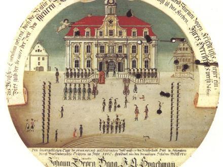
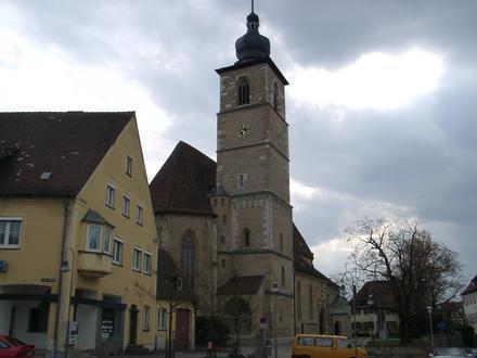
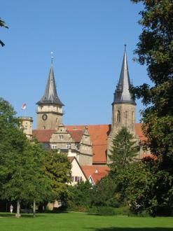
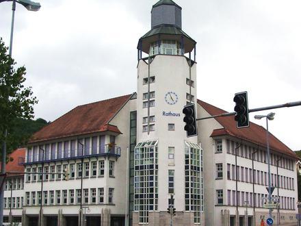
Wolpertshausen, Baden-Württemberg
Wolpertshausen is a town in the district of Schwäbisch Hall in Baden-Württemberg in Germany. Wolpertshausen Wikipedia Page
About Our Data
The data on this page is estimated using a number of publicly available tools and resources. It is provided without warranty, and could contain inaccuracies. Use at your own risk. See here for more information.