Ikkatteq Facts
| Local Time | |
| Timezone | Greenland Summer Time |
| Lat & Lng | 65.63333, -37.93333 |
Map of Ikkatteq
Interactive Map
Recent Nearby Earthquakes
Magnitude 3.0 and greater
| Date▼ | Time↕ | Magnitude↕ | Distance↕ | Depth↕ | Location↕ | Link |
|---|---|---|---|---|---|---|
| 1/13/19 | 12:32 PM | 4.4 | 39.2 km | 10,000 m | 34km NNE of Tasiilaq, Greenland | usgs.gov |
| 4/25/08 | 7:39 AM | 4.1 | 40 km | 10,000 m | eastern Greenland | usgs.gov |
| 9/8/04 | 1:28 PM | 4.2 | 73.5 km | 10,000 m | eastern Greenland | usgs.gov |
| 9/27/93 | 4:58 AM | 4.5 | 89.8 km | 10,000 m | eastern Greenland | usgs.gov |
| 5/1/93 | 12:01 PM | 4 | 34.1 km | 10,000 m | eastern Greenland | usgs.gov |
| 1/13/91 | 5:22 PM | 4.8 | 24.6 km | 10,000 m | eastern Greenland | usgs.gov |
Source: U.S. Geological Survey (USGS)
Ikkatteq
Ikkatteq (old spelling: Íkáteq) was a small village in the Sermersooq municipality in southeastern Greenland. It was abandoned in 2005.
Ikkatteq Wikipedia Page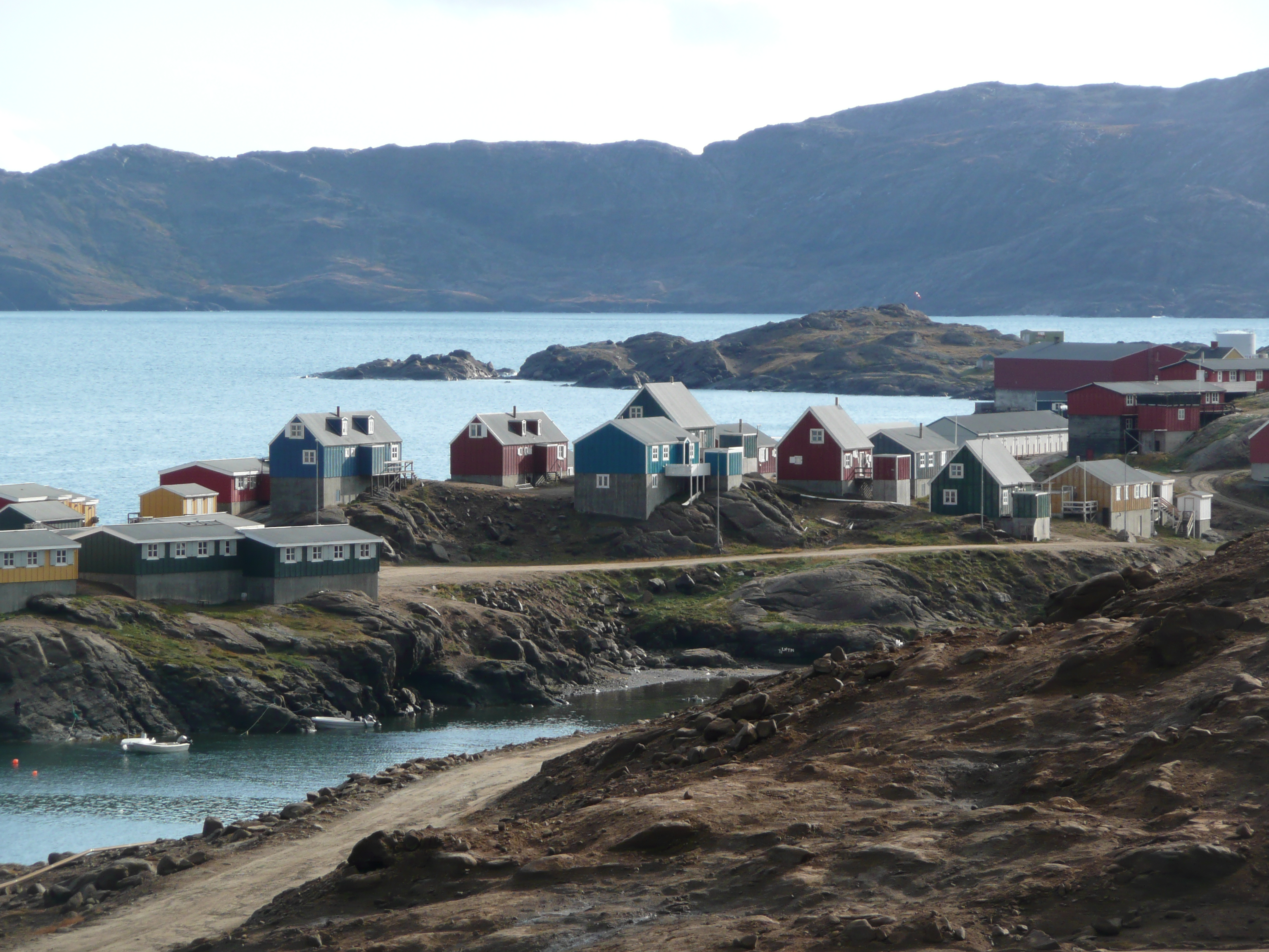


About Our Data
The data on this page is estimated using a number of publicly available tools and resources. It is provided without warranty, and could contain inaccuracies. Use at your own risk.