Aba-wa Facts
| Local Time | |
| Timezone | Myanmar Time |
| Lat & Lng | 17.64711, 96.73077 |
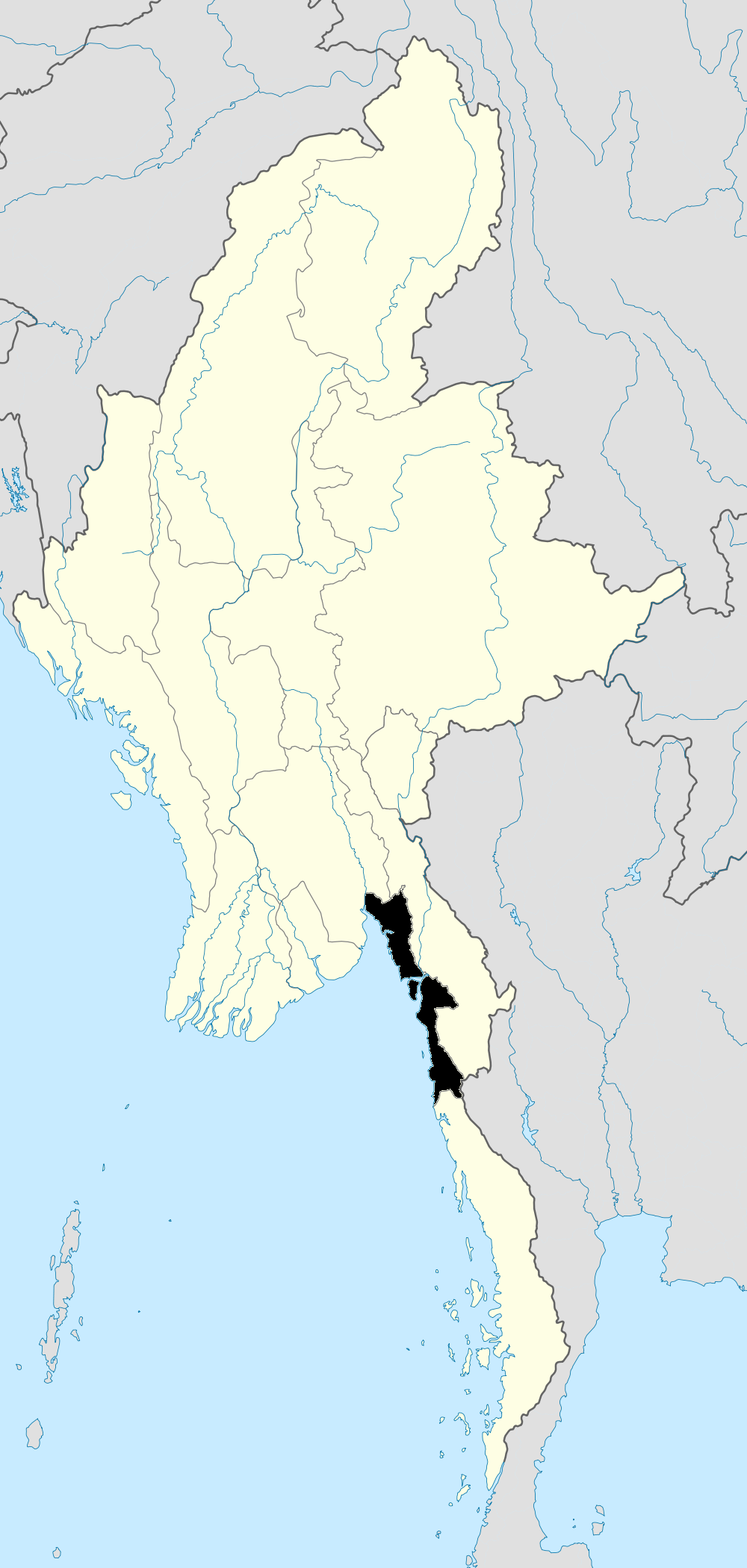
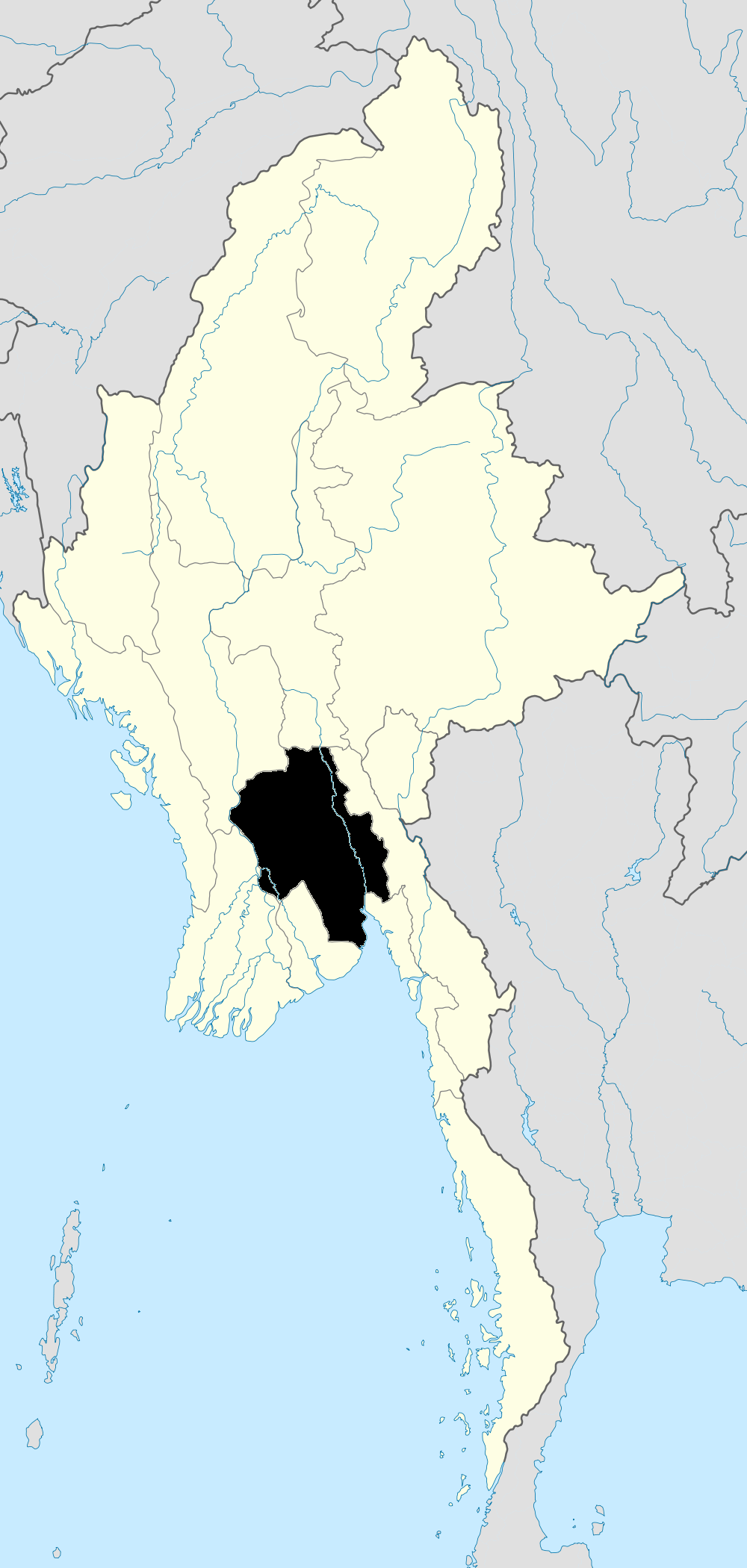
Map of Aba-wa
Interactive Map
Recent Nearby Earthquakes
Magnitude 3.0 and greater
| Date▼ | Time↕ | Magnitude↕ | Distance↕ | Depth↕ | Location↕ | Link |
|---|---|---|---|---|---|---|
| 6/18/19 | 4:28 AM | 4.8 | 69.7 km | 16,190 m | 41km ENE of Letpandan, Burma | usgs.gov |
| 1/28/19 | 3:52 AM | 4.5 | 95 km | 27,660 m | 45km SW of Pyu, Burma | usgs.gov |
| 6/17/18 | 1:42 PM | 4.6 | 98.7 km | 10,000 m | 33km WSW of Pyu, Burma | usgs.gov |
| 6/17/18 | 1:21 PM | 5 | 98.6 km | 10,000 m | 44km WSW of Pyu, Burma | usgs.gov |
| 4/22/18 | 6:31 PM | 4.9 | 99.5 km | 10,000 m | 49km WSW of Pyu, Burma | usgs.gov |
| 4/20/18 | 10:29 PM | 5 | 96.1 km | 17,070 m | 33km WSW of Pyu, Burma | usgs.gov |
| 4/20/18 | 4:16 AM | 4.9 | 99.8 km | 10,000 m | 31km WSW of Pyu, Burma | usgs.gov |
| 2/9/18 | 6:04 PM | 4.3 | 84.8 km | 20,860 m | 38km SW of Pyu, Burma | usgs.gov |
| 2/7/18 | 4:38 PM | 4.1 | 85 km | 10,000 m | 45km SW of Pyu, Burma | usgs.gov |
| 2/5/18 | 4:55 PM | 4.6 | 87.4 km | 10,000 m | 31km SW of Pyu, Burma | usgs.gov |
Source: U.S. Geological Survey (USGS)
Aba-wa
Aba-wa is a village in the Bago Division of south-east Myanmar. It is located approximately 45 kilometres (28 mi) north-east of Bago.
Aba-wa Wikipedia Page
About Our Data
The data on this page is estimated using a number of publicly available tools and resources. It is provided without warranty, and could contain inaccuracies. Use at your own risk.