Kyaikpi Facts
| Local Time | |
| Timezone | Myanmar Time |
| Lat & Lng | 17.29159, 97.02784 |
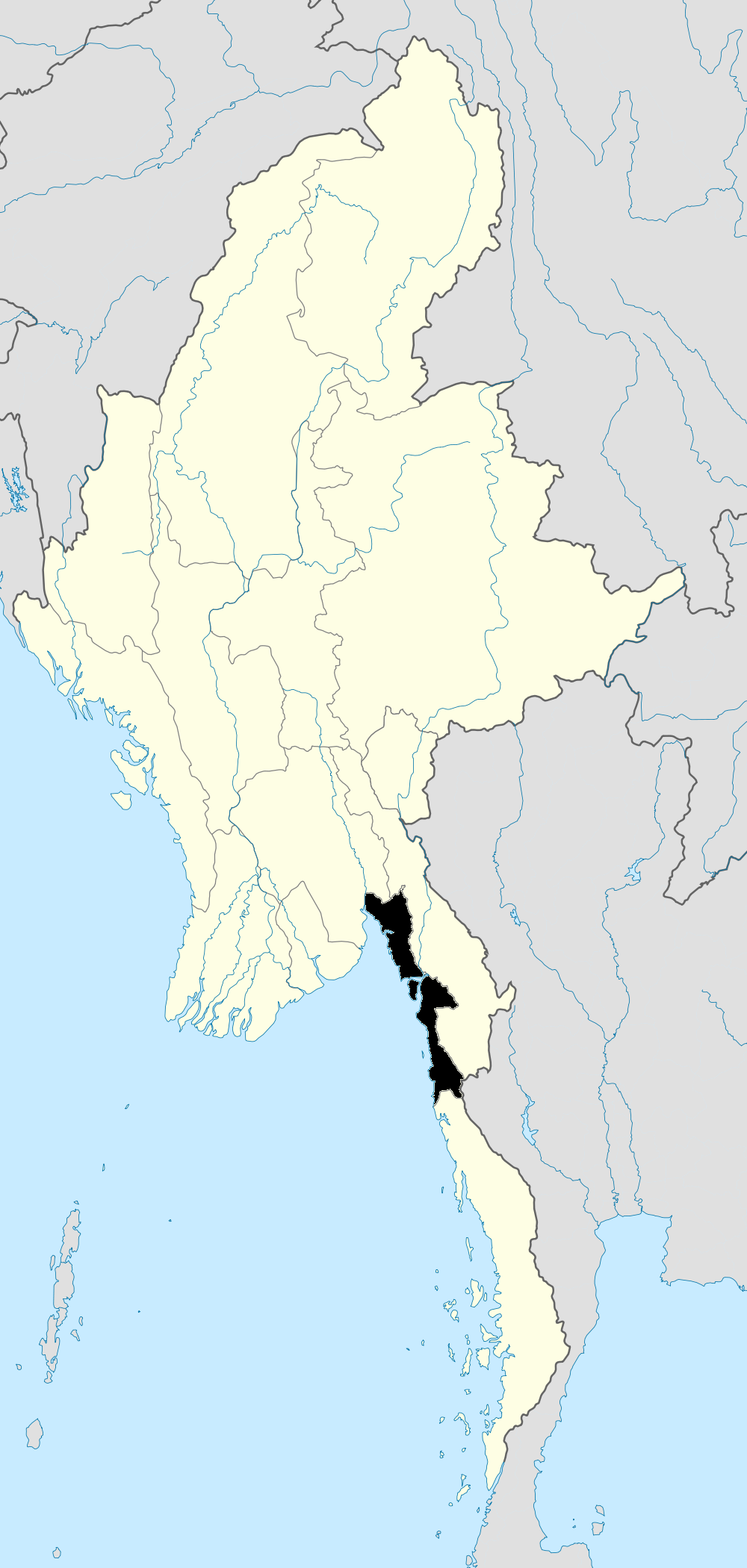
Map of Kyaikpi
Interactive Map
Recent Nearby Earthquakes
Magnitude 3.0 and greater
| Date▼ | Time↕ | Magnitude↕ | Distance↕ | Depth↕ | Location↕ | Link |
|---|---|---|---|---|---|---|
| 1/12/16 | 2:59 PM | 4.4 | 98.9 km | 50,560 m | 21km SSW of Thongwa, Burma | usgs.gov |
| 11/28/14 | 1:09 AM | 4.4 | 72.3 km | 15,390 m | 8km NE of Thanatpin, Burma | usgs.gov |
| 11/29/04 | 10:24 AM | 4.3 | 74.4 km | 85,000 m | near the south coast of Myanmar | usgs.gov |
| 8/18/02 | 9:07 PM | 4.4 | 68 km | 33,000 m | Myanmar | usgs.gov |
| 3/28/96 | 1:39 PM | 4.2 | 57.7 km | 33,000 m | Myanmar | usgs.gov |
| 5/16/95 | 9:48 PM | 6.1 | 90.5 km | 11,400 m | Myanmar | usgs.gov |
| 8/19/94 | 9:02 PM | 5.8 | 99.7 km | 12,300 m | Myanmar | usgs.gov |
| 5/29/83 | 1:44 PM | 4.8 | 77.3 km | 22,500 m | Myanmar | usgs.gov |
| 5/5/30 | 1:46 PM | 7.5 | 89.4 km | 35,000 m | Myanmar | usgs.gov |
Source: U.S. Geological Survey (USGS)


About Our Data
The data on this page is estimated using a number of publicly available tools and resources. It is provided without warranty, and could contain inaccuracies. Use at your own risk.