Categories in Tha Ton
Industries
Business Distribution by Industry in Tha Ton
| Industry Description | Number of Establishments | Average Google Rating |
|---|---|---|
| Cafes | 8 | 3.8 |
| Thai restaurants | 6 | — |
| Religion | 6 | — |
| Restaurants | 5 | — |
Tha Ton Facts
| Neighborhoods | Tambon Malika |
| Local Time | |
| Timezone | Indochina Time |
| Lat & Lng | 20.06306, 99.36342 |
Map of Tha Ton
Interactive Map
Price Distribution
Business distribution by price for Tha Ton
Recent Nearby Earthquakes
Magnitude 3.0 and greater
| Date▼ | Time↕ | Magnitude↕ | Distance↕ | Depth↕ | Location↕ | Link |
|---|---|---|---|---|---|---|
| 2/20/19 | 9:05 AM | 4.6 | 99.7 km | 10,000 m | 5km N of Wang Nuea, Thailand | usgs.gov |
| 2/3/18 | 3:29 PM | 4.6 | 61.5 km | 10,000 m | 40km WNW of Mae Sai, Thailand | usgs.gov |
| 5/24/15 | 6:27 AM | 4.6 | 62.3 km | 10,000 m | 60km NW of Mae Ai, Thailand | usgs.gov |
| 8/24/14 | 10:32 PM | 4.5 | 54.4 km | 20,440 m | 13km SW of Mae Suai, Thailand | usgs.gov |
| 6/9/14 | 12:59 PM | 4.4 | 81.8 km | 10,000 m | 15km NNE of Mae Sai, Thailand | usgs.gov |
| 5/12/14 | 11:05 AM | 4.3 | 56.9 km | 10,000 m | 12km NNW of Phan, Thailand | usgs.gov |
| 5/9/14 | 7:12 AM | 4.1 | 50.1 km | 10,000 m | 13km WSW of Mae Suai, Thailand | usgs.gov |
| 5/8/14 | 8:43 PM | 4.1 | 51.2 km | 10,000 m | Thailand | usgs.gov |
| 5/7/14 | 9:38 AM | 4.5 | 50.7 km | 10,000 m | 4km E of Mae Suai, Thailand | usgs.gov |
| 5/6/14 | 8:52 PM | 4.2 | 52.3 km | 10,000 m | 3km SSE of Mae Suai, Thailand | usgs.gov |
Source: U.S. Geological Survey (USGS)
Tha Ton
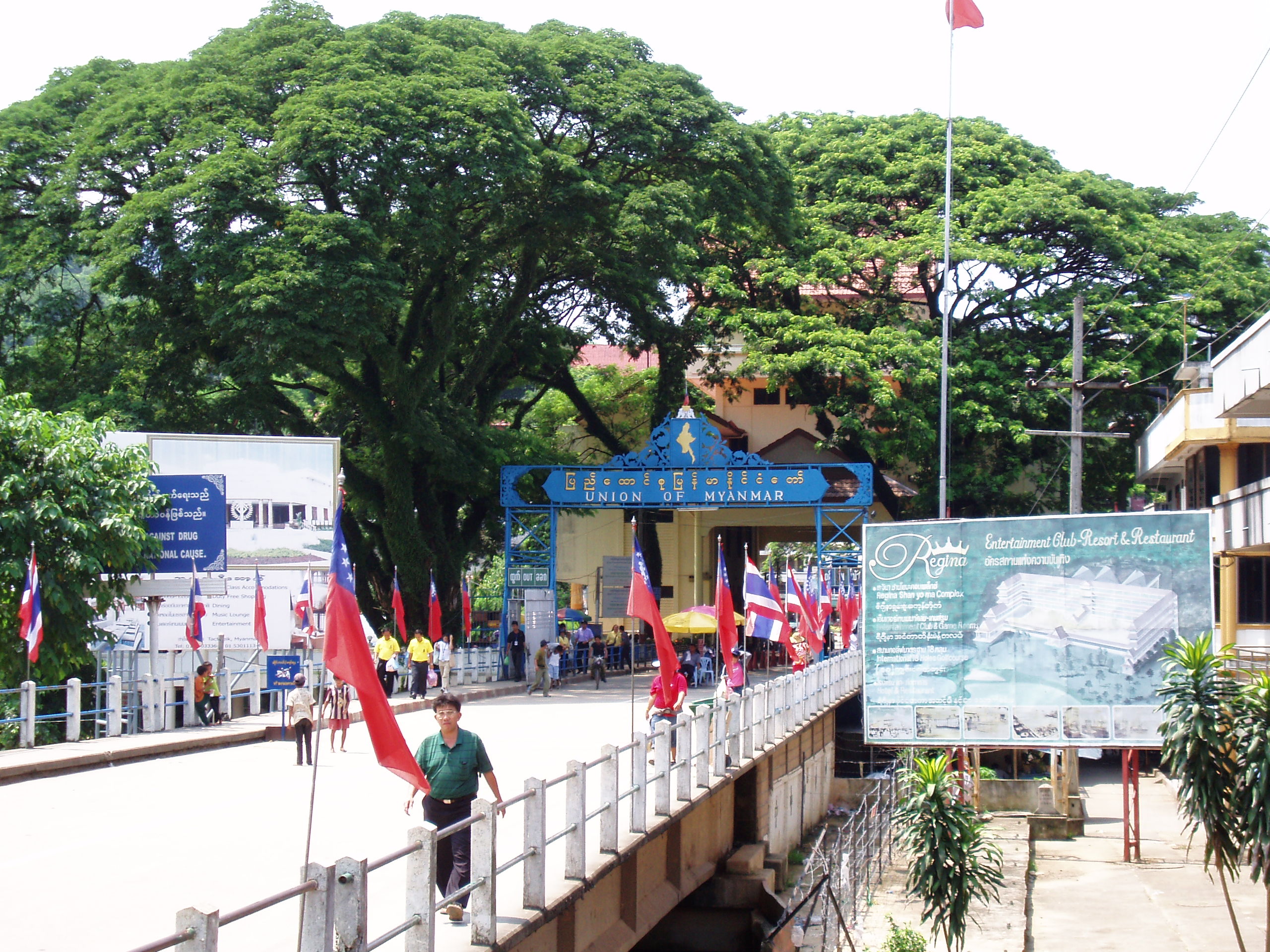
Tha Ton, also spelled Thaton (Thai: ท่าตอน) is a sub-district (tambon) of Mae Ai District in the far north of Chiang Mai Province, Thailand. In 2014 it had a population of 19,902 people. The sub-district is on the Kok River near the border with Myanm..
Tha Ton Wikipedia Page


About Our Data
The data on this page is estimated using a number of publicly available tools and resources. It is provided without warranty, and could contain inaccuracies. Use at your own risk.